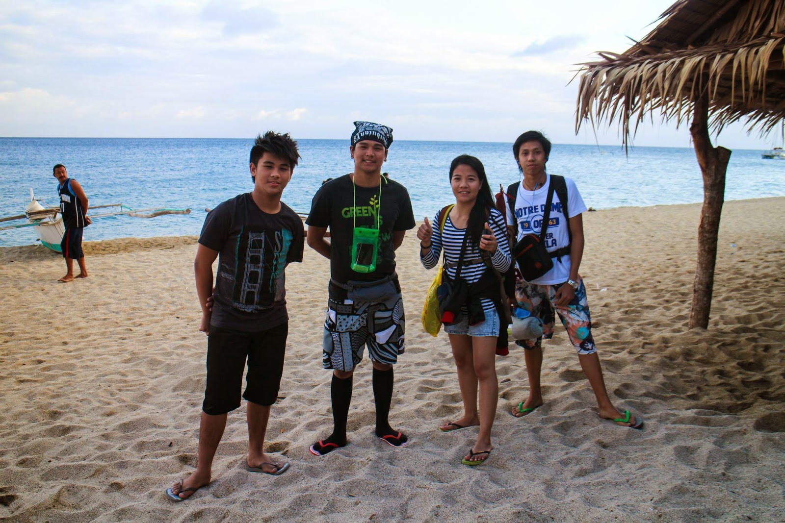
20140329. Mt. Balagbag Loop. Maranat Twin Falls
 |
| Maranat Twin Falls |
Mt. Balagbag Loop. Maranat Falls Chronicles
Always remember, the most beautiful part of writing and putting your memories in to written words and collections of pictures is reading them in the future. There is magic in how simple words transport you back to those moments. Re-living the moments of your youth. Don’t ever get lazy, never stop doing the things that you love, and don’t ever stop writing about it. This is your life.
This is day 1 of our Mt. Balagbag loop, Maranat Falls and tree planting activity.
This
is a guide to one of the trails going to Maranat Falls. Ace and
Rainier, the event organizers, claim that they knows at least 5
different routes to Maranat Falls. I believe them. After reading up on
Maranat, I found that they are quite popular in this area. I later found
out that Maranat Falls is more than just a destination to them.
Frequent climbers of Maranat have already treated this place as their
home. They are like a big extended family there and they also form the
unofficial search and rescue party of this place.
Day 1
0430 AM Meet up at Edsa. I don’t really know if it’s a world wide phenomena but whenever I have a scheduled climb, something just comes up that forces me to stay up the whole night before the climb. Anyhow, for this event I climbed with my awesome friend Donna. We started our journey at Pioneer, EDSA. Even at this time, there were still a lot of buses plying across EDSA and it wouldn’t be hard to find a bus going to Tungko. An air-conditioned bus cost us P67 each. City buses in Manila have really small leg room and overhead compartment so don’t expect to be comfortable if you have a huge backpack with you.0530 Meet-up at Tungko Jollibee. This is around 10 minutes from SM fairview with out traffic. Besides Jolibee, there is Greenwich, Burger Machine, Mercury and a market here.
This is a good place to drink coffee, have breakfast and fix your pack. We just met up with the event organiser, Ace Modar, and the group.
0615 Take Jeep to Licao ( Jump-off ). The jeepney station is just 3 minutes away from Jolibee. You just have to cross the street and walk pass the market.
Trips to Licao-Licao are frequent so I don’t think you’ll have to wait long. We didn’t have to wait at all because our group of 20 something was just enough to fill a large jeepney.
We were soon off to the jump off point.
0715 Arrival at Licao-Licao. There were a lot of mini stores here. And there are places where you can still have your breakfast or buy pack lunch. We bought our pack lunch here for P40. But most importantly, have you ever been in two places at once? This place is the intersection between San Jose Del Monte, Bulacan and Macabod, Rizal! I wouldn’t allow Donna to miss this opportunity to be at two places at once and not have pictures!
 |
| San Jose Del Monte, Bulacan |
 | |
| Licao-Licao Macabud, Rizal |
0745
Stark trek. Some people always say that the first part of the trek is
always the hardest. For this trail, I have to agree. It’s a continuous
uphill challenge. The trail is only 40-50 degrees inclined. But this will take a toll on you if you start with this right at the bat.
0830 Arrival at San Isidro Health Center. We stopped here to register and to rest. People here are so nice. I ate the peach mango pie I was lugging around and when I asked them where I could throw the trash, someone went to the back of the hall and procured a trash can. Can you believe that?
 |
| Registration Area, San Isidro Health Center |
0900 Arrival at the intersection
of Mt. Balagbag and Mt. Maranat trail. There is also a nice store here
where you can drink cold mountain dew or have a halo halo. Going left
would lead you to the normal trail of Mt. Maranat and going straight would lead you to
Mt. Balagbag. Most of us have never been to Balagbag before, so we just
had to go straight.
0920
Resumed trek. One of the things that you should remember is that this
trail doesn’t have a lot of trees. Trail is very open to the sun and you
can see and feel the distance that you still need to climb. Summer was already around the corner when we climbed here so the
heat was almost unbearable. It was not an easys climb for me, later I
would find out that it was only a warm up for what they call “Bouldering in Maranat falls”.
 |
| Trail is very open, prepare for the heat |
1000
ETA Another intersection, going left would take you to the highest point of
Mt. Balagbag. The right trail leads the way back to Mt. Maranat. The
group just rested here for a while since it was also a nice
spot for photo opportunities. From here, you can also see the hut from a
far that marks the summit of Mt. Balagbag
 |
| Landmark for the intersection |
 |
| View from the right side |
1035 Some
of us who haven’t been to the summit took the opportunity to go there. We
proceeded to go left, entering the gate. There’s a hut here where you
can use the restroom or buy softdrinks. We were also asked to
register.
 |
| Gate to Mt. Balagbag Summit |
This is just a long circling uphill trail with out a shade
from the sun. When you are nearing the summit, you’d be welcomed to a
nice view of long winding rivers from a far. I really enjoy the view of a body of water from the mountain. For some reason, it just feels refreshing to the eyes.
 |
| Trail of Mt. Balagbag |
10:50
Helipad Summit of Mt. Balagbag. The summit is very bare but has enough
room to camp 5 large groups with out getting crowded. We didn’t stay for
a long time and never really set camp so I can’t be sure. You
really just notice these things when you are actually camping there.
There were only around 10 people there when we got there and some of
them were just relaxing at the hut, enjoying the sight and the fresh
air.
 |
| View from the Summit of Mt. Balagbag |
 |
| View from the Summit of Mt. Balagbag |
1130 Back to the intersection. Just rested for a
while then took the right trail to resume the trek to the falls. Around
10 minutes from the intersection you would see a small fork. I was told
that going straight would lead you to some town but I didn’t have to worry about that since you would need to take the left trail to the falls.
1200
You should be able to reach a hut on the left side of the road. At that
time, there was a sign saying that they have a store there. Since the
sun was beating heavy on us, we went in and asked for the coldest drink
that they had. They sell soft drinks, biscuits and some snacks.
 |
| Small store |
 |
| View of the sky from the trail. Always find time to look up. |
1310
There would be a fork in the road. One descending to the main river,
the other going left to what seems like a part of a falls. I think you
can take any of this as long as you go left once you are in the river
line. Donna instinctively thought that we should go left, I suggested we
go down since the trail is more visible there. It also looked like a
long river and the path going left or right would be more visible there. We
started our descent and there were a father and son who caught up to us
and told us that the way is to the left. We followed them and saw that
there is a water source just right after the fork. We thanked them and
just rested there and waited for the others just to be sure. Michael
caught up to us and just decided to continue the trek to join the others
in the front. We found out that we were only 5 minutes away from were
the others were resting. Hence, the moral of the story: Never
underestimate a woman’s instinct!
 |
| This is the view once you've gone to the left side. The water source is just behind this perspective. |
 |
| Just follow the river |
1330 Just continue going left. If you ever need reassurance that you are on the right trail, you will see this small bridge. Of course things may have change since I last went there. But I hope these little things might help you. At one point you might need to cross the river, but just continue on your way as long as you can see the river.
 |
| Small bridge |
1410 Once you reach a spot where the river ends to a falls, find an ascending trail on your right. Just remember where it is, that’s the way to Maranat Falls. But since your already here, why not check out the falls down the river as well? It’s a nice sight and has a nice basin where you can take a dip and refresh.
 |
| Do you know the name of this falls? I should like to know. |
 |
| Double back once you've reached a view like this. |
 |
| Double back once you've reached a view like this |
1445 Here
we go. I couldn’t believe it. This is what they call bouldering at
Maranat. It looks fun and all, but with very little wind, the heat was
almost unbearable. Climbing over those huge boulders under those
circumstances and with overnight packs, can get very technical and
exhausting. I normally just drink around 250ml-500ml when I’m climbing
for 4 hours, but for this, I had to drink 2L of water while dreaming of
the coldest mountain dew I’ve ever had in my life.
 |
| Start of bouldering in Maranat |
 |
| Racing the storm. If the heavens threaten to rain make sure to make a run for it. |
Even after all of these, with the first sight of the magnificent twin falls, I hurriedly dropped my bag and just climbed and jumped from one rock to the other just to touch the water. If it weren’t for the sky beginning to threaten to rain on us, I would’ve spent 30 minutes more simply enjoying the sight and just dipping in the pool. But everyone knew how impossibly difficult it would be if we had to climb these huge boulders under the rain so we quickly got our act together and proceeded to endure the challenge.
 |
| Excited Rommel trying to reach the falls. This is the first level. |
 |
| This is the third or the fourth level of the falls. |
1530
ETA Campsite ( Tatay Nestor Campsite ). There is a water source here.
And since Ace was close to Tatay Nestor, we were able to use the open
part of hut. The campsite was large enough to accommodate at
least 20 tents. There were a lot of places where you can pitch your tent
with the hut being the center of the place. After setting up
camp, some of the people where already going back to the falls where we
came from, others where going to the other falls just 7 minutes away
from the hut.
Most were just resting and having their late
lunch. There were a lot of people who also climbed that day and every
time a new group arrives one of them greets Tatay Nestor and the other
climbers as if they really are one big family who hasn’t seen
each other for awhile. I think that’s what I like most in Maranat. There
is a special bond in the mountaineers that always go there. Some of
them just go there on a solo trip whenever they are free knowing that they will always find familiar places in the campsite.
 |
| Small space for tent near the hut. There are larger spaces all around the hut |
 |
| Tatay Nestor's |
1900
Dinner. Ranier of travel tipid is a good cook and would not leave you
wanting for. I don’t know if they always do this but they prepared
plenty of food that even after all of the participants were done eating,
there were still a lot left. They really were good hosts, they didn’t
even started eating until all of the participant was at least half way
done with their food, just to be sure that we were satisfied.
There
were members from other groups that were still trekking that night and
Ace and Ranier were informed that some of them lost their way. Ranier
hurriedly prepared and went to the lost hikers and safely returned in
less than 30 minutes. I later learned from other hikers that our two
host know Maranat like the back of their hands. And they can even tell
from the campsite if some hikers are on the correct trail just by the
light of their headlamp amidst the darkness of the mountain.
2000 Socials. There is one truth in event organisers, when they say that you will have a party for the socials, they will not fail you. There were a lot of drinks and fun stories that was served that night. The special thing about Travel Tipid, I guess, is that they have a raffle. Every after 30 minutes or so, a number is drawn. That night, the prizes were: 3 Waterproof cases, 1 whistle with a flint (I wished I got this one) and a hammock with a very reggae design. Too bad I wasn’t able to win anything, I had to retire early since I had been awake since 6 AM the day before. If the night sky is good to you, stargazing is a nice activity in Maranat since it’s basically in the middle of two mountains and the city lights does not reach the area.
Itinerary
Day 1
0430 AM Meet up at Edsa
0530 Meet-up at Tungko Jollibee
0615 Take Jeep to Licao ( Jump-off ).
0715 Arrival at Licao-Licao.
07:45 Stark trek
0830 Arrival at San Isidro Health Center.
0900
Arrival at the intersection of Mt. Balagbag and Mt. Maranat trail.
There is also a nice store here where you can drink cold mountain dew or
have a halo halo. Going left would lead you to the
normal trail of Mt. Maranat and going straight would lead you to Mt. Balagbag.
0920 Resumed trek.
1000
Another intersection, going left would take you to the highest point of
Mt. Balagbag. The right trail leads the way back to Mt. Maranat.
1035 We proceeded to go left, entering the gate to get to the peak of Mt. Balagbag
10:50 ETA Helipad Summit of Mt. Balagbag.
1130 Back to the intersection.
1145
ETA small fork. I was told that going straight would lead you to some
town but I didn’t have to worry about that since you would need to take
the left trail to the falls.
1200 ETA small store
1310 ETA small fork in the road. Go left.
1410 Once you reach a spot where the river ends to a falls, find an ascending trail on your right.
1445 You will be able to see Maranat Falls by now. We climb the huge boulders to get to the campsite.
1530 ETA Campsite ( Tatay Nestor Campsite ).
1900 Dinner.
2000 Socials.
Day 2
930 Breakfast.
1000 Prepare for Tree Planting.
1000 Prepare for Tree Planting.
1015 Tree Planting.
1100
Swim and explore waterfalls. There are a lot of mini-falls and pools
where you can enjoy your stay in Maranat. We’ve only went until the
fourth or fifth level. I particularly like the last one because the pool
is very deep and you can jump from a huge boulder to the pool.
1230 Lunch. Chill.
1600 Descend back to Jump-off Via Traditional or Highway Trail. The plan was to descend at around 1-2 PM but the heat was unbearable at the time.
1600 Descend back to Jump-off Via Traditional or Highway Trail. The plan was to descend at around 1-2 PM but the heat was unbearable at the time.
1615
River crossing. I was informed that the rope for the river rappel is
normally there when it’s not summer. They said that constant exposure to
the heat and the sun would wear the rope faster. You can cross using
the boulders if you don’t want to get wet.
1700 First water source
1700 First water source
1730 Second water source near the highest peak of the trail.
1800 Third water source near a lone hut wit a nice view of Mt. Arayat.
1830 Store that sells very delicious rice cakes and snacks
1830 Store that sells very delicious rice cakes and snacks
1900 ETA Store at the intersection of Mt. Balagbag and Maranat Trail.
2015 ETA Arrival at the Jump-off (Licao Licao). Wash up.
2200 ETA Tungko Jolibee. Dinner.
2245 ETD Tungko to Cubao. There are busses just outside Jolibee going to Cubao and Pasay.
2400 ETA Cubao.
Budget in peso:
67 Bus. AC. Pioneer to Tungko
67 Bus. AC. Tungko to Pioneer
99 Breakfast and coffee at Jolibee
40 Pack Lunch
22 Snack
____________
295 + Travel Tipid's fee for the event
Inclusion in Travel Tipid's fee for the event
Jeep. Tungko to Jump-off to Tungko.
Event T-Shirt ( Dry-fit )
Bag-tag/ID
3 Hosted Meal.
( Dinner 1st day )
( Breakfast 2nd Day )
( Lunch 2nd Day )
Event T-Shirt ( Dry-fit )
Bag-tag/ID
3 Hosted Meal.
( Dinner 1st day )
( Breakfast 2nd Day )
( Lunch 2nd Day )
ACTIVITY.
Tree Planting
Bouldering
Swimming (sa mga falls)
Bouldering
Swimming (sa mga falls)